The city’s other skyline is a line of reeds.
Salt marsh, old forest and glacial boulders inside the five boroughs. This guide treats each reserve the way a bird book treats a species: a plate to know it by, field marks, range and the season it is at its best.
How to use it: each spread is one reserve. The plate is on the left; the account and field marks are on the right. Every reserve here is reachable by subway, bus or ferry. Tap the small i on a plate to see who took it.
iContents
- PLATE IJamaica Bay Wildlife RefugeQueens
- PLATE IIPelham Bay ParkThe Bronx
- PLATE IIIInwood Hill ParkManhattan
- PLATE IVStaten Island GreenbeltStaten Island
- PLATE VMarine ParkBrooklyn
- APPENDIXThe birding year, month by monthall five
i
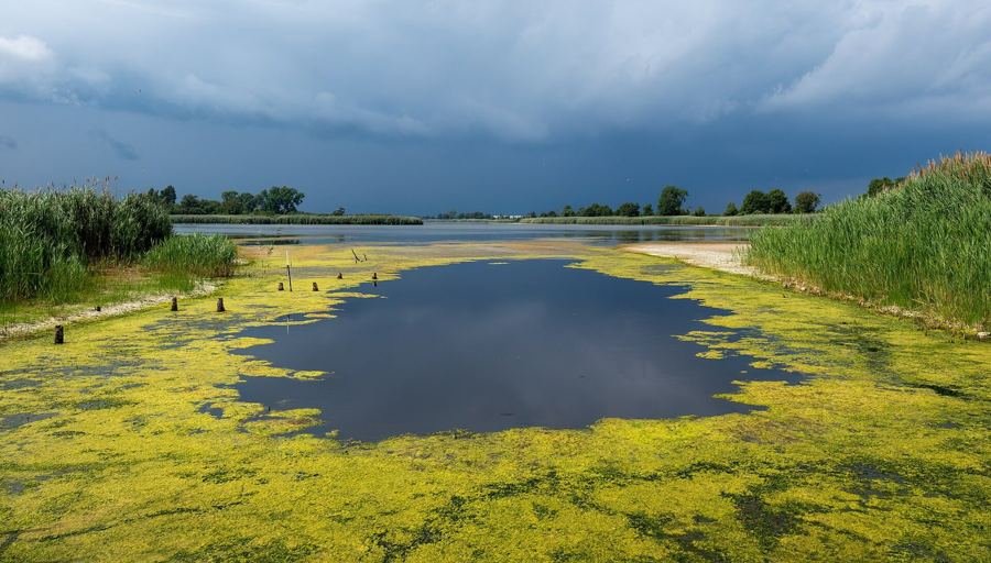
Jamaica Bay Wildlife Refuge
- Range
- Broad Channel, Queens
- Habitat
- Salt marsh, two brackish ponds, upland scrub
- Field marks
- Egrets on the pond edges, terns over the bay
- Best season
- May for horseshoe crabs; August for shorebirds
The West Pond loop is under two miles and flat. Come on a falling tide in late summer and the mud is busy with sandpipers heading south.
- A first walk round West Pond, step by step
- Shorebird season on Jamaica Bay: what to look for in August
i
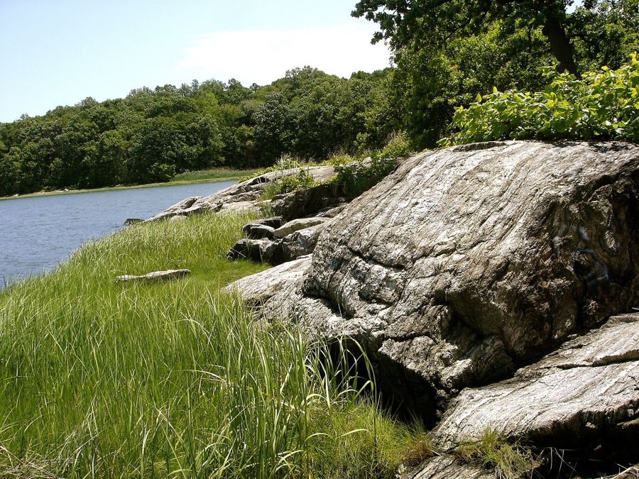
Pelham Bay Park
- Range
- Northeast Bronx, on Long Island Sound
- Habitat
- Oak woods, salt marsh, glacial boulders, rocky shore
- Field marks
- Owls roosting in winter pines; harbor seals offshore
- Best season
- December to March
Hunter Island and Twin Island hold the wildest stretch: boulders dropped by the ice, tidal coves and the Kazimiroff trail through the woods.
5i
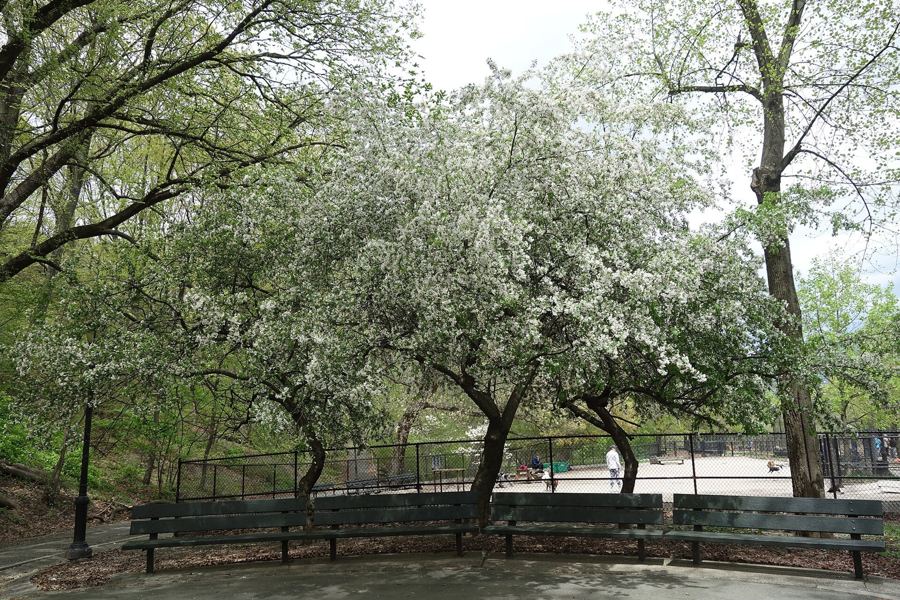
Inwood Hill Park
- Range
- Northern tip of Manhattan
- Habitat
- Old-growth tulip trees, caves, a small tidal marsh
- Field marks
- Warblers in the canopy, herons on the cove
- Best season
- Late April to mid-May
Take the A train to the end of the line. The forest climbs steeply from the cove to ridges over the Hudson, with rock shelters people used long before the city.
7i
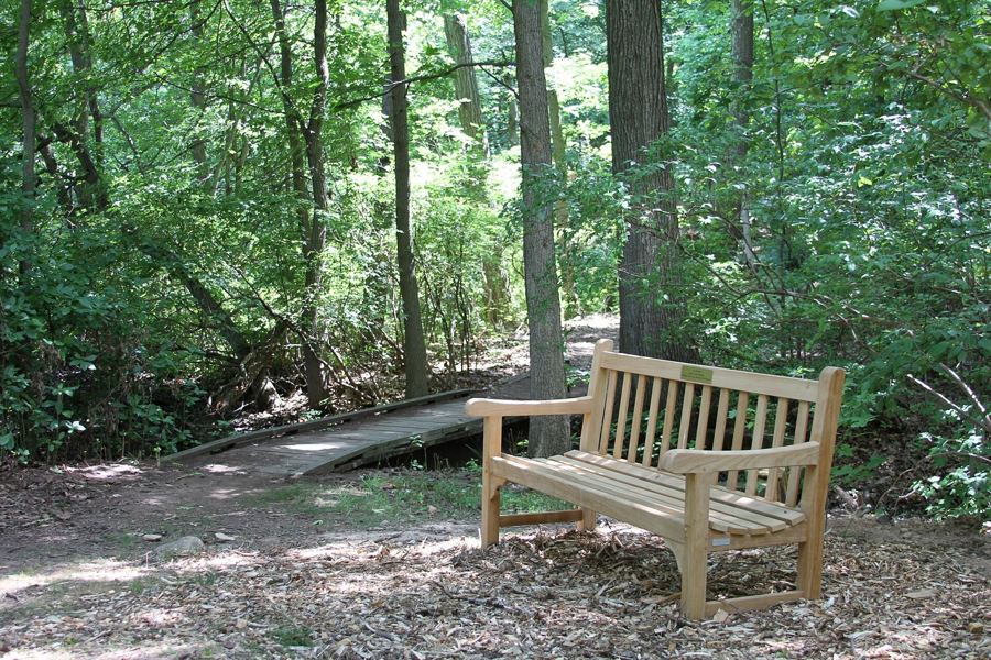
Staten Island Greenbelt
- Range
- Central Staten Island
- Habitat
- Hardwood forest, ponds, wetlands, a hilltop
- Field marks
- Blazed trails, spring peepers, fall colour
- Best season
- October and early November
The ferry is the first half of the walk. From there a bus reaches High Rock, where the blue trail leads over Moses Mountain and past ponds that sound like a summer evening in April.
9i
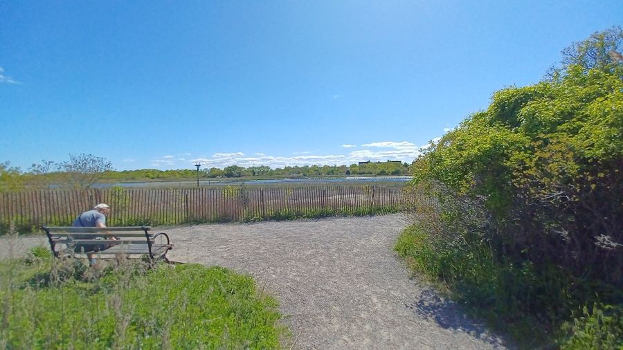
Marine Park
- Range
- Southeast Brooklyn, off Jamaica Bay
- Habitat
- Spartina marsh, tidal creek, restored grassland
- Field marks
- Fiddler crabs, ospreys, the creek at sunset
- Best season
- June to September
The nature trail around Gerritsen Creek is short and level, good for a first marsh walk or an evening after work. The crabs come out as the tide drops.
11